EAST TENNESSEE GEOLOGICAL SOCIETY
| Valley and Ridge to Blue Ridge Foothills: Transition from the Appalachian |
| Foreland Fold-Thrust Belt into the Outer Metamorphic Core of the Orogen |
| December 3, 2022 |
| Trip Leader: Dr. Robert Hatcher |
Introduction from the Guide Book
The purpose of this trip is to observe structures in the field that we
have discussed in class, along with some of the concepts and ideas that
we have discussed in class this term. We will be looking at the
transition from the external parts of the Appalachians into the internal
parts. Similar-but not identical-transitions exist in most other
mountain chains in the world regardless of whether or not they are the
products of continent-continent collision, like the Urals, Alps, and
Himalayas, or if they are part of the Cordilleran chain that extends
from Alaska to southern Chile.
For us to accomplish these goals, we will be looking at rocks and
structures ranging from an exposure in the Valley and Ridge to exposures
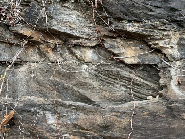
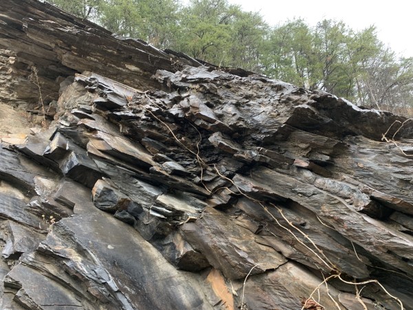
in the westernmost parts of the western Blue Ridge. The rocks here range
from Ordovician shales and limestones of the Appalachian Valley and
Ridge to Neoproterozoic to Cambrian sandstone, shale, and other rock
types in the western Blue Ridge that have a totally different appearance
and history from the Valley and Ridge rocks (Fig. 1). The principal
difference in terms of their origins is the Valley and Ridge rocks were
deposited well up onto the ancient North American continental shelf,
whereas the older sedimentary rocks were deposited at water depths from
very shallow to very deep along the ancient margin in a rifting
environment following the breakup of supercontinent Rodinia beginning
-750 Ma or even earlier. The Ordovician shale and sandstone at the first
stop on the field trip were also deposited in deep water, but in a basin
that formed in front of the Taconic mountains, which formed by volcanic
arc and related crust being shoved onto the outer continental margin,
causing the region to the west (in front) of the overthrust arc material
to subside and form a basin to the west. These clastic sedimentary rocks
undergo a facies change to shallow-water limestone to the northwest,
confirming that the source of the clastic material was to the southeast.
Once we cross the Great Smoky fault and enter Blue Ridge topography we
will still be in sandstone, shale, and carbonate rocks that have not
been deformed any more extensively than rocks in the Valley and Ridge,
despite the fact that these rocks and those to the southeast have been
transported some 400 km from the southeast to where they reside today
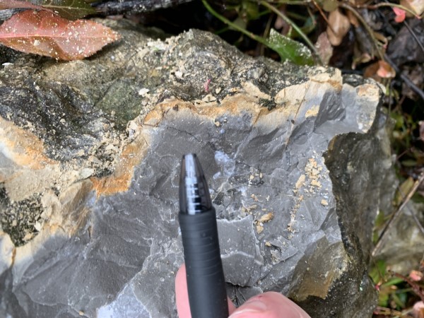
(Fig. 2). We will stop to look at some of the carbonate rocks in the
first block of Blue Ridge topography. These rocks are dolomite
[CaMg(C03)21-limestone is composed mostly of calcite, CaC03-and are very
similar to dolomite that we find in the Valley and Ridge, except that
this dolomite unit (called Shady Dolomite) is older than the oldest rock
unit of any kind exposed across the Tennessee Valley and Ridge. This
rock unit comprises the first carbonate deposited in the Appalachians
(from Alabama to Newfoundland) along the North American rifted margin
following breakup of the supercontinent, indicating that the margin
faced open ocean in the Early Cambrian.
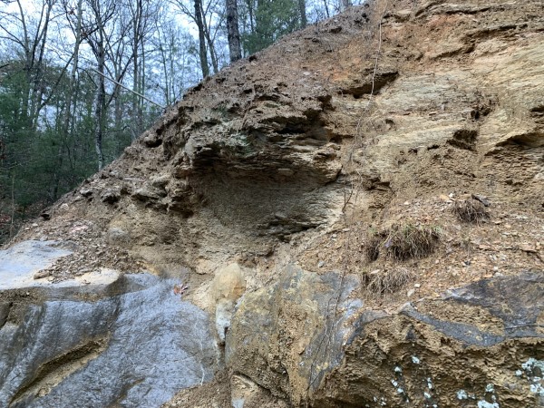
From the vantage point of these carbonate rocks, we can look across a
small creek located just down the hill and see that there is a somewhat
different topography than that in the valley where we are standing. The
creek follows an ancient fault, southeast of which are rocks that are
markedly different from any of those to the west. The fault block to the
northwest should really be considered a piece of the Valley and Ridge
that happens to be located in Blue Ridge topography, so the Great Smoky
fault simply brings up a suite of older rocks that do not occur in the
Valley and Ridge. The mechanics of formation of this part of the Great
Smoky fault, however, is identical to the mechanics of formation of
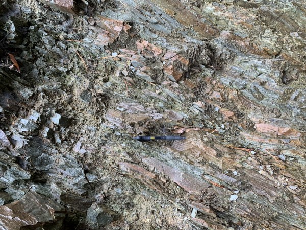
Valley and Ridge faults: the fault propagated along a weak rock unit,
e.g., shale, in the sedimentary sequence just below the Chilhowee Group
rocks that underlie Chilhowee Mountain and the less erosionally
resistant, overlying Shady Dolomite that underlies the linear valley
making up Miller Cove. The fault then refracted across strong layers in
the Chilhowee Group and Shady Dolomite (e.g., sandstone, limestone, or
dolomite) to a higher weakness zone: probably the Rome Formation that
overlies the Shady Dolomite and rests directly on the Precambrian
basement rocks beneath the Valley and Ridge. The Miller Cove fault,
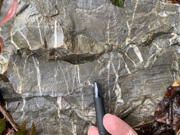
located along and southeast of the creek, however, brought up rocks that
contain structures and metamorphism that were produced -460 Ma, so what
we are seeing here is an earlier crust-that we could call basement-that
has been through an earlier tectonic event and was transported
northwestward by a much younger fault, the Great Smoky fault. The
expansive but thin mass of crust that comprises the Great Smoky (-Miller
Cove-Blue Ridge) Blue Ridge-Piedmont megathrust sheet pushed the Valley
and Ridge rocks in front of it like a snowplow: as it moved forward,
thrusts propagated northwestward in front of it as snow piles up in
front of the snowplow.
We will make several stops in these earlier deformed and metamorphosed
rocks, and then arrive in an open, elliptical valley surrounded by high
mountains. This valley is underlain by Valley and Ridge limestone and
shale of the kinds exposed just west of the Great Smoky fault. This
elliptical valley was produced by erosion through the great slab of the
Blue Ridge (Great Smoky) thrust sheet to expose the rocks in
Tuckaleechee Cove window and in the adjacent smaller but identical
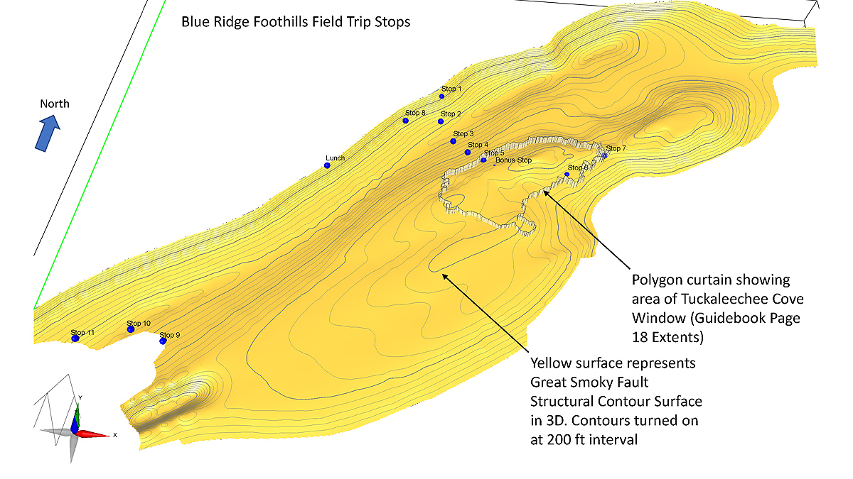
windows, Wear Cove (NE) and Cades Cove (SW). Measurement on the map from
the southeast margin of Tuckaleechee Cove directly northwest to the
trace of the Great Smoky fault where we first saw it provides a minimum
displacement of -1 0 km, but seismic reflection and other geologic data
permit us to conclude that the Great Smoky fault has a minimum
displacement of >400 km (Hatcher et aI., 2007). For a window or series
of windows to form, as we have here, the rocks of the hanging wall of
the thrust sheet are arched into an antiform (upfold having the shape of
an anticline) that was probably intensely fractured along its crest and
permitted erosion to breach the thrust sheet and expose the rocks
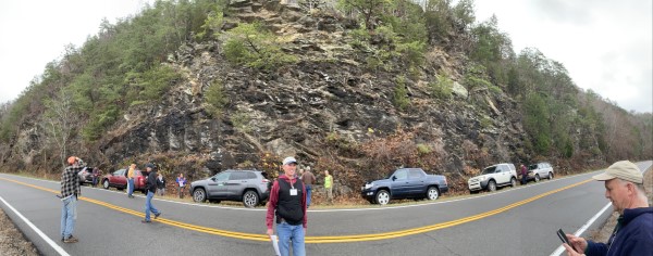
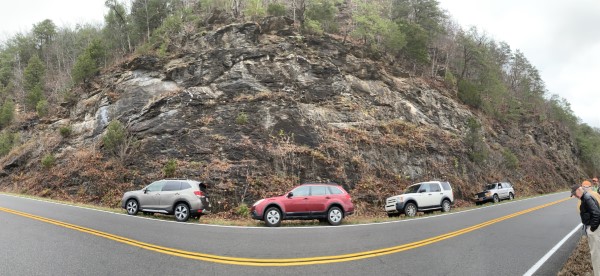
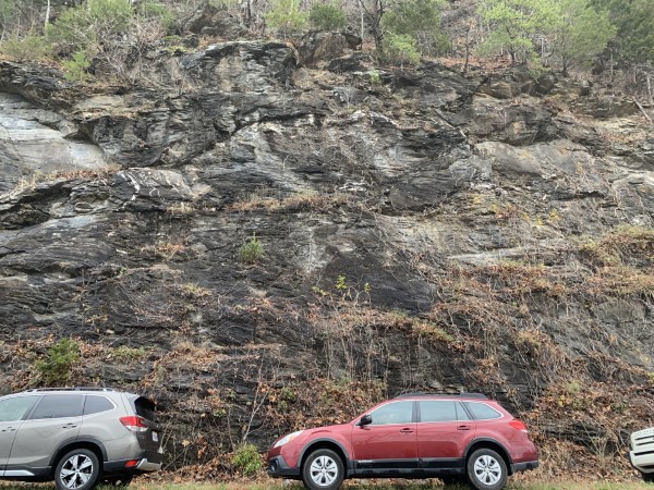
beneath the sheet. We will make three stops at exposures of the Great
Smoky fault (counting the one at the boundary between the Valley and
Ridge and Blue Ridge) and a fourth on the southeast side of Tuckaleechee
Cove where we can see some structures beneath the sheet that enable us
to formulate a model to explain the structure beneath Tuckaleechee Cove.
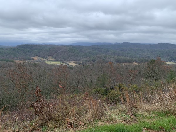
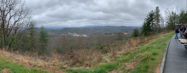
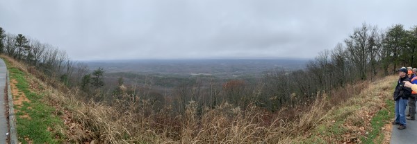
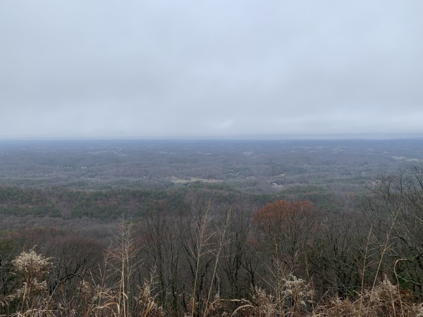
We will then return to the frontal block of the Blue Ridge and turn
southwestward onto the Foothills Parkway. Once we are on the Parkway we
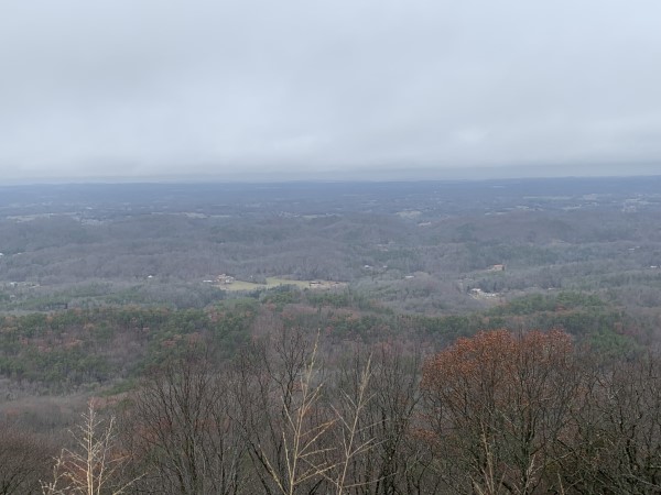
will make several stops to look southeastward into the Blue Ridge and
northwestward across the Valley and Ridge. If the weather is clear, we
will be able to see the high mountains along the crest of the Blue Ridge
on the Tennessee-North Carolina line to the southeast and the Cumberland
Plateau to the northwest of Oak Ridge. Our lunch stop will be at a
convenient and scenic place along the Parkway, then we will continue
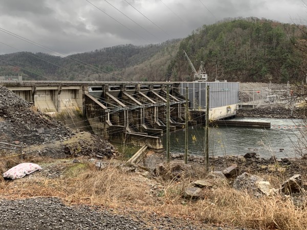
southwestward to its southwest end on US 129 at Chilhowee Lake on the
Little Tennessee River. We will then drive along US 129 to look at
several interesting exposures of rifted margin sedimentary rocks, which
were metamorphosed during the early Paleozoic.
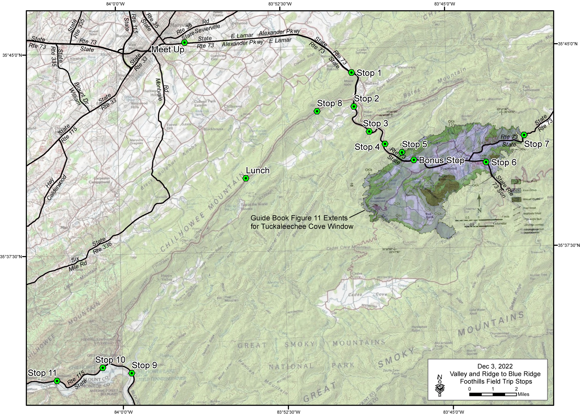
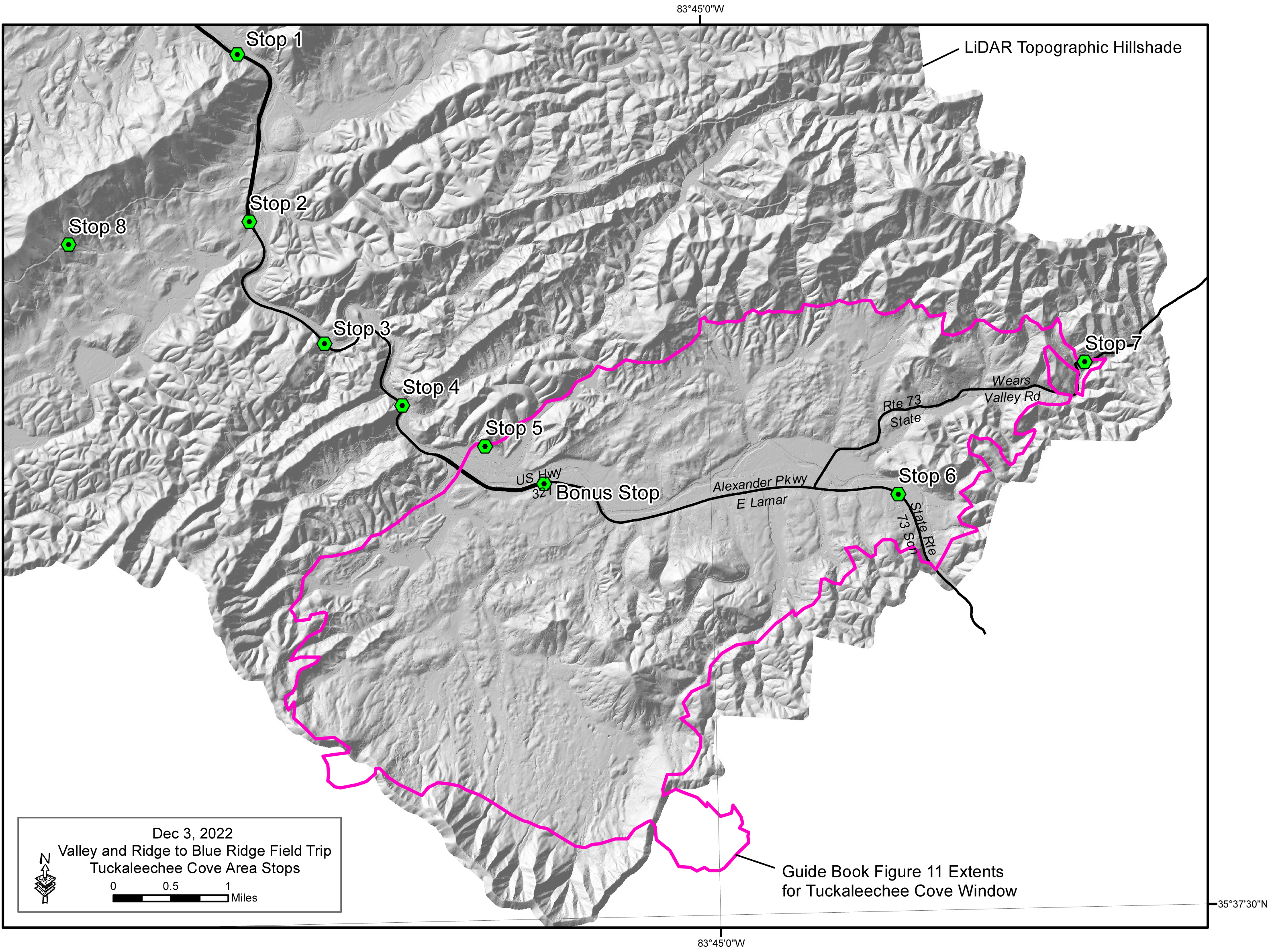
Tuckaleechee
Cove Area Stops (Guidebook Figure 11) Overlaid on LiDAR Topographic Hillshade
(download PDF and flip between pages)
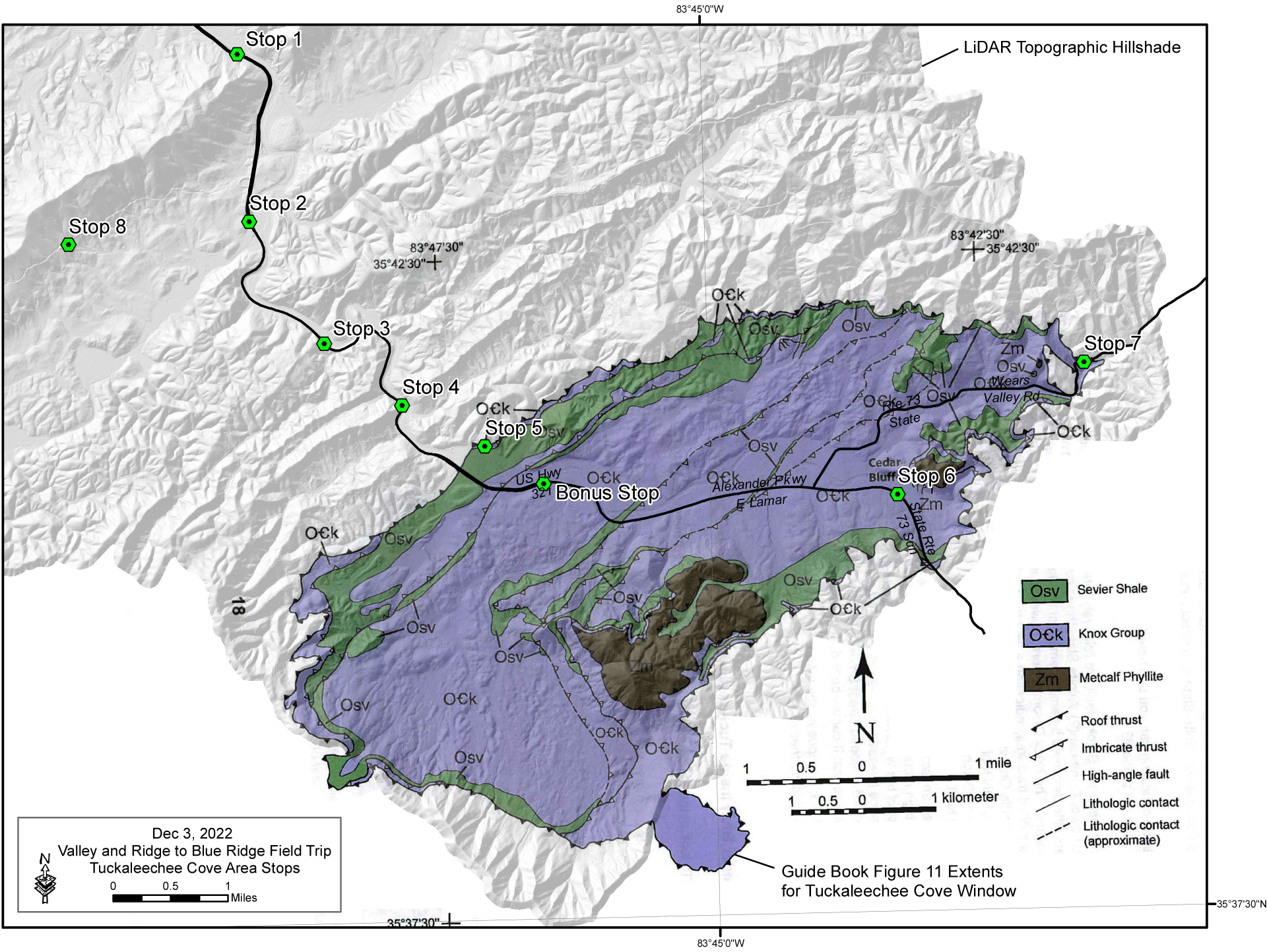
Tuckaleechee Cove Area Stops (Guidebook Figure 11) Overlaid on LiDAR Topographic
Hillshade
3D Visualizations of Great Smoky Fault Structural Contours, Topography and Geology (PDF download)
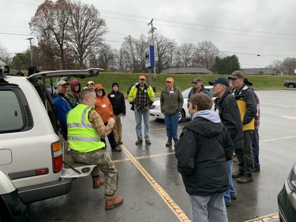
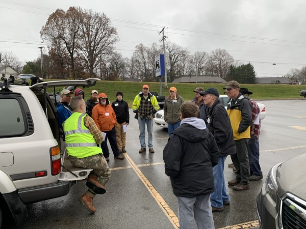
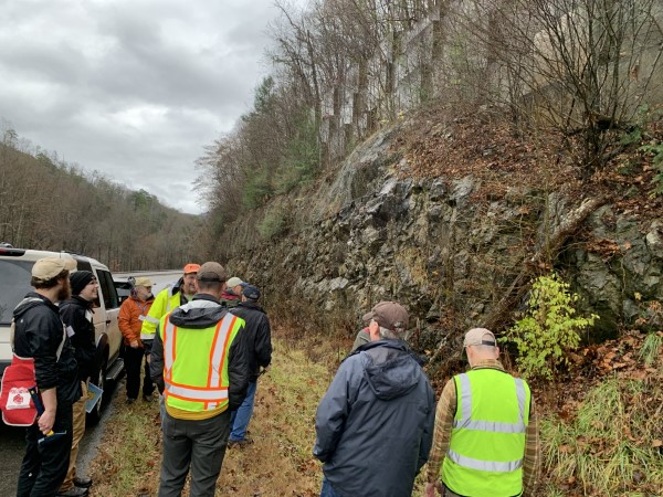
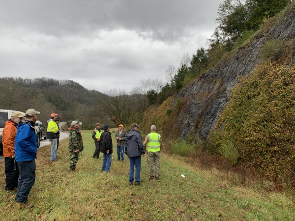
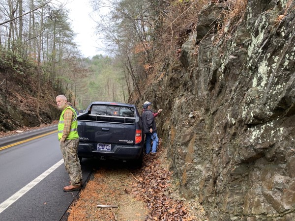
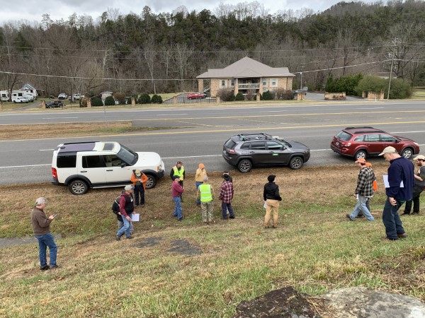
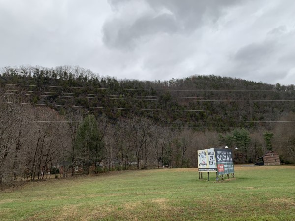
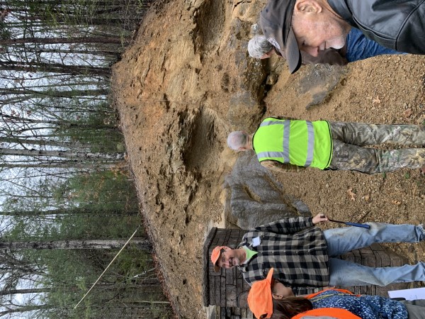
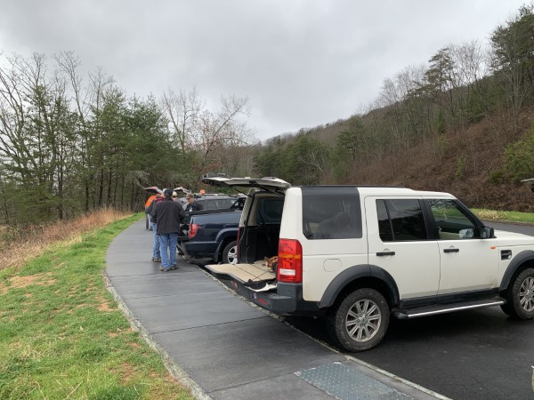
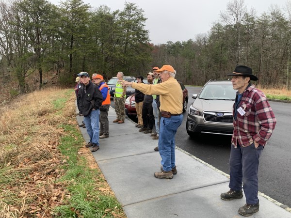
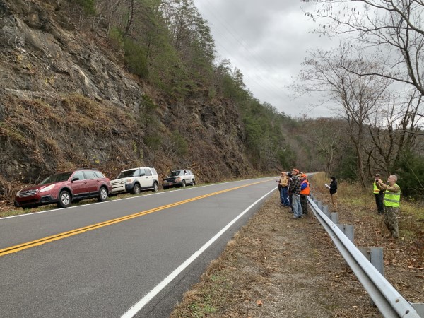
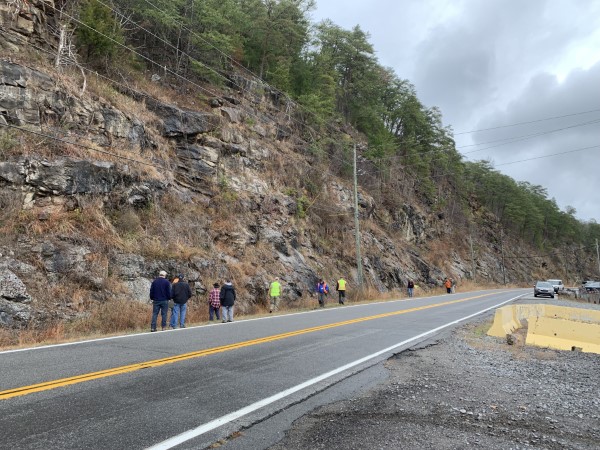
Meet Up in the Morning
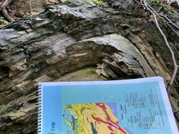
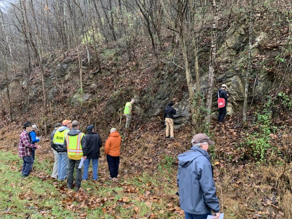
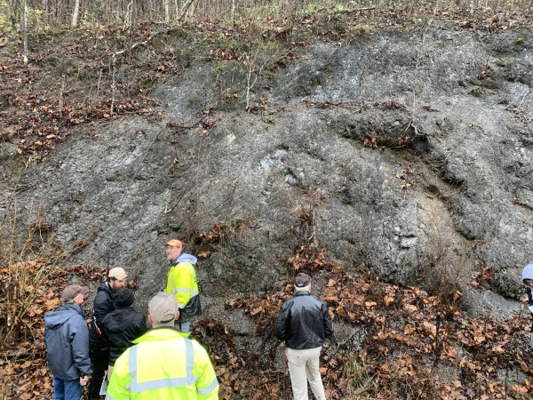
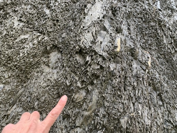
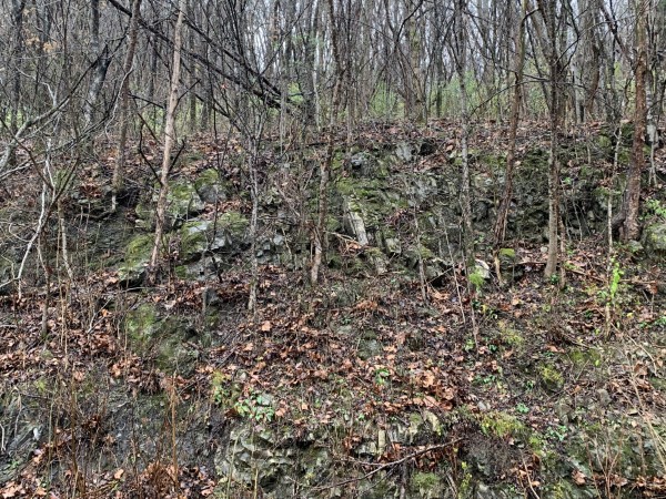
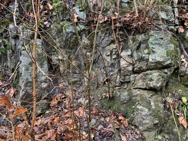
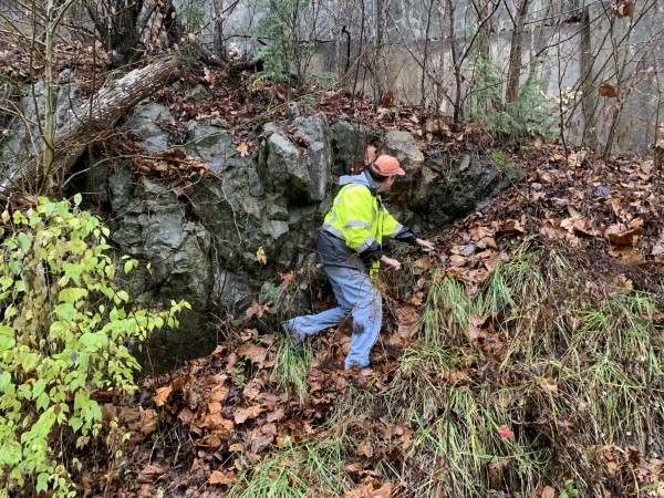
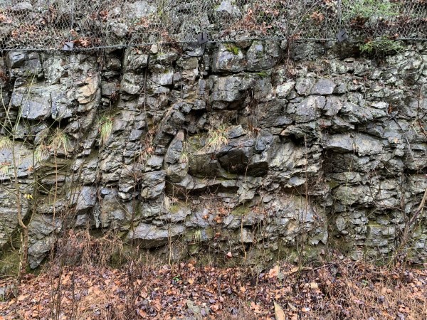
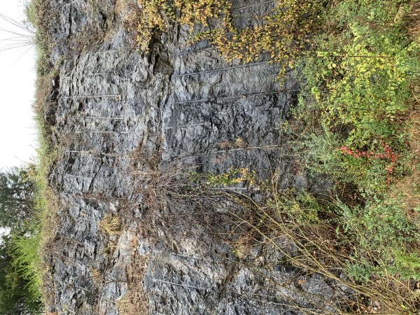
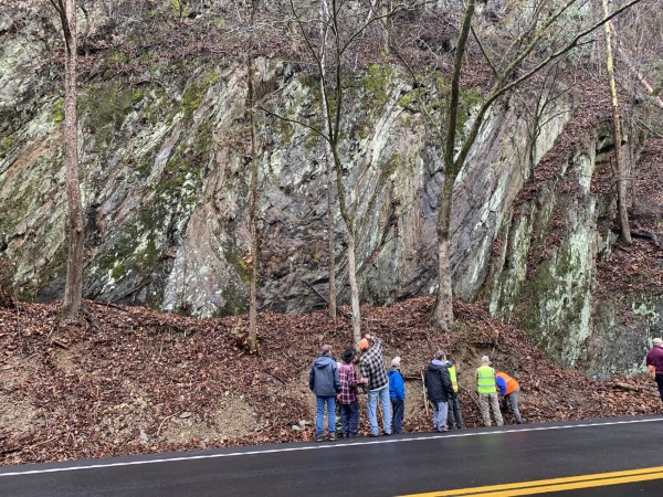
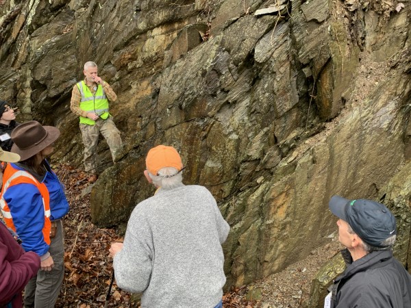
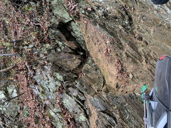
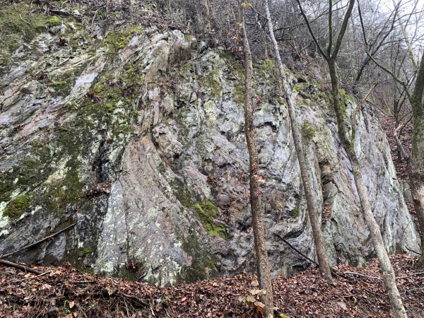
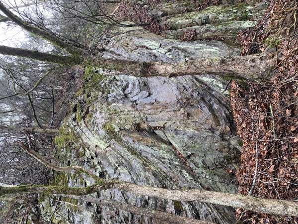
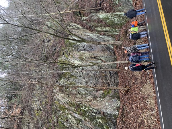
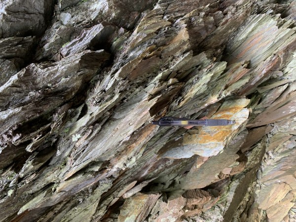
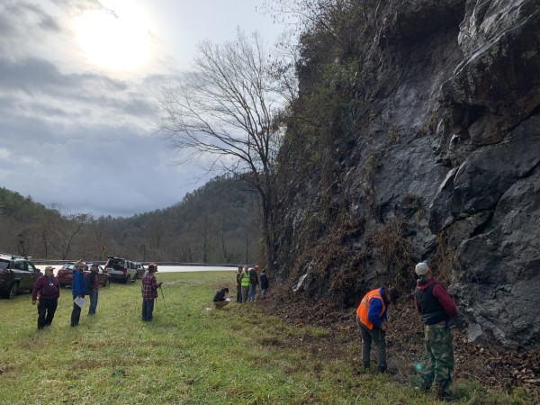
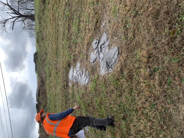
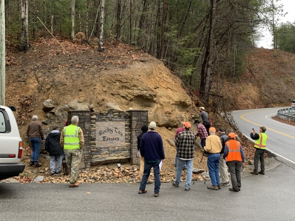
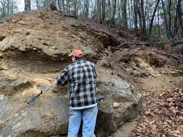
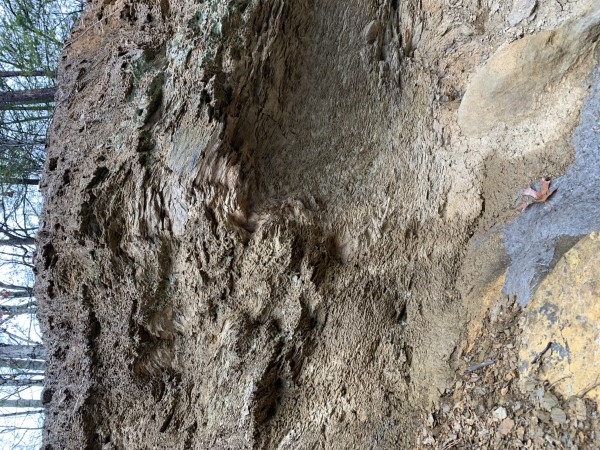
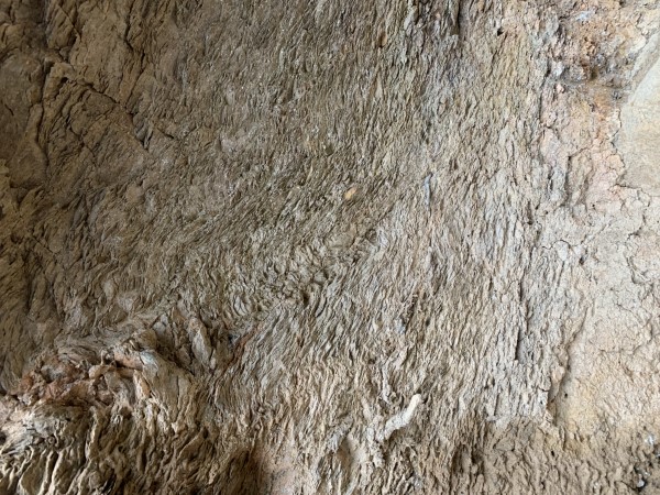
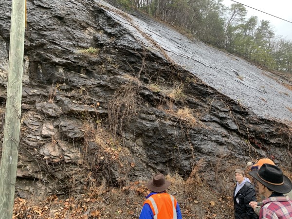
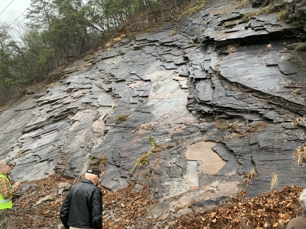
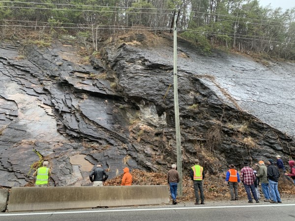
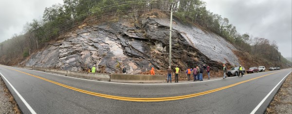
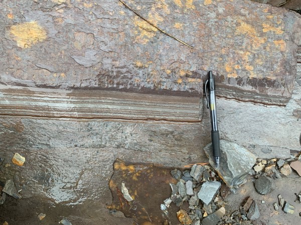
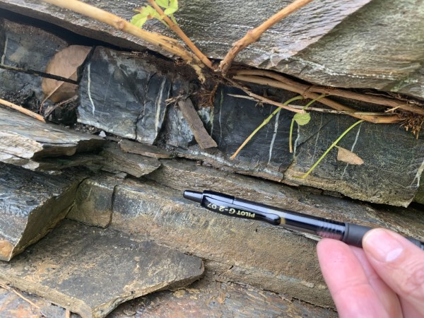
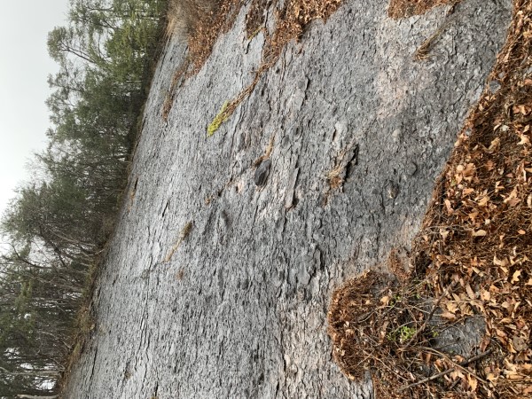
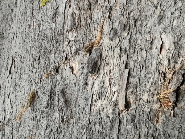
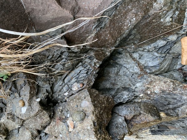
Stop 1
|
|
|
|
 |
|
 |
|
|
 |
 |
|
|
|
 |
|
 |
 |
|
 |
|
|
 |
 |
|
|
|
 |
|
|
|
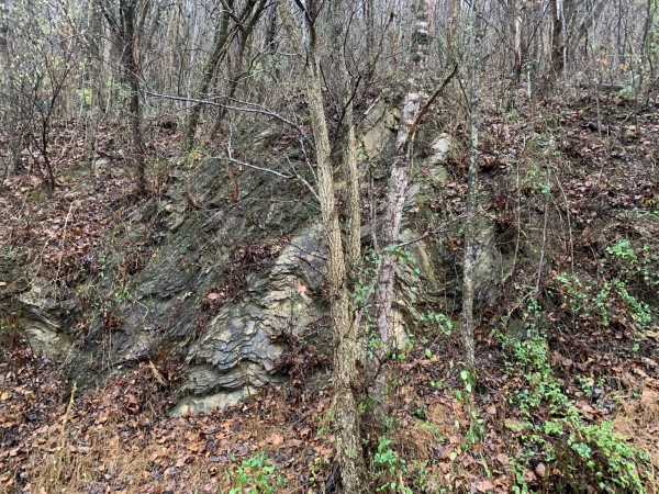
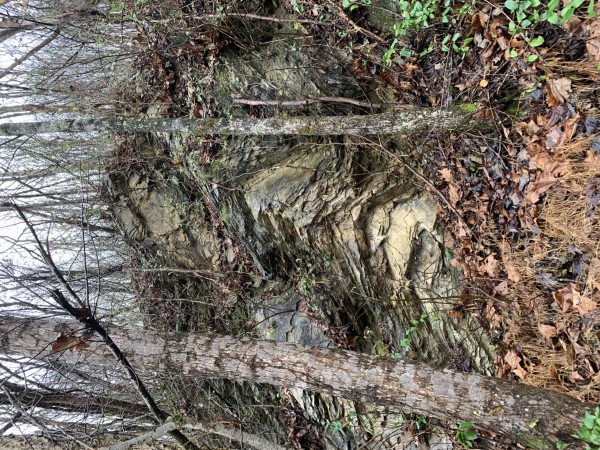
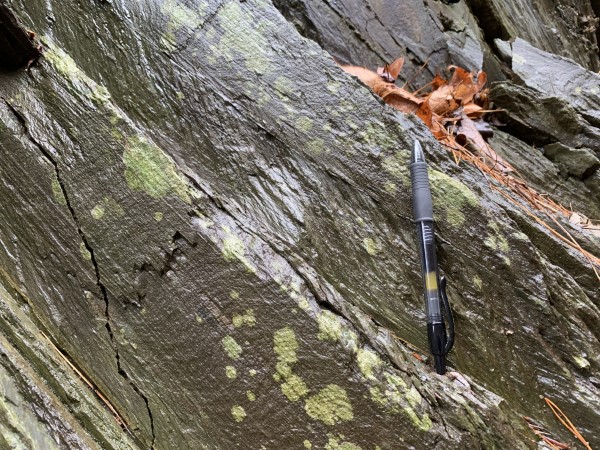
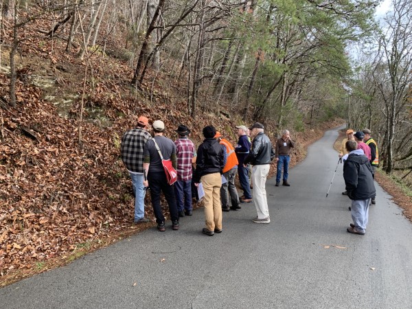
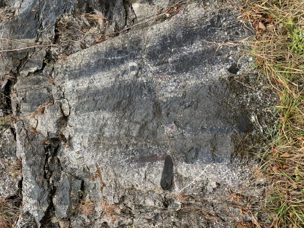
Stop 2
|
|
 |
 |
|
|
|
 |
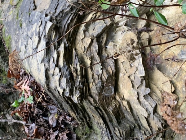
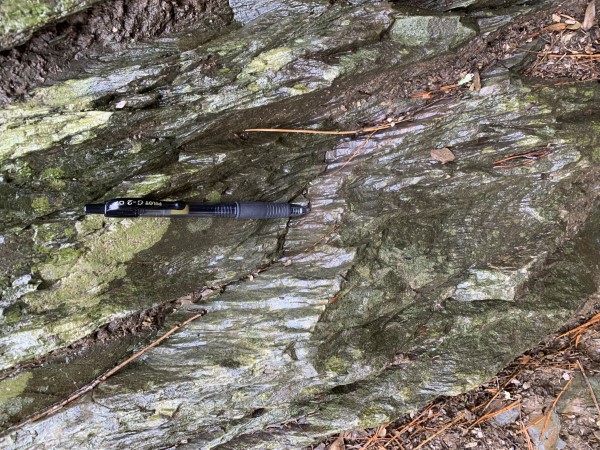
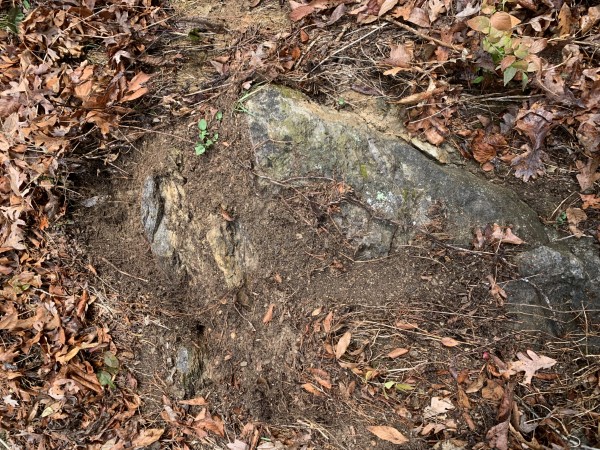
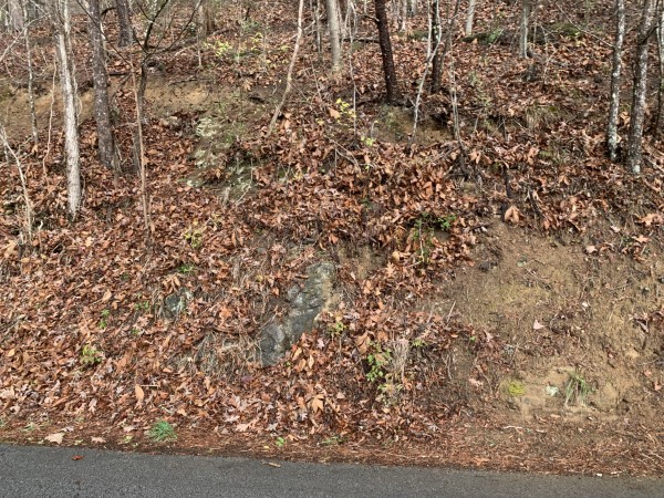
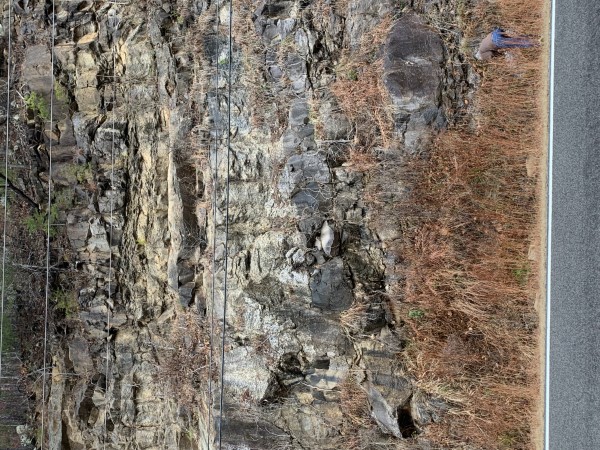
Stop 3
|
|
 |
|
|
|
|
|
 |
|
|
|
|
|
|
 |
|
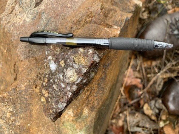
Stop 4
|
|
|
 |
 |
|
|
|
Stop 5
|
|
|
 |
 |
|
|

Bonus Stop
|
|
 |
 |
|
|
|
|
Stop 6
|
|
 |
Stop 7
|
|
|
 |
|
|
|
|
 |
 |
|
|
Stop 8
|
|
 |
|
|
Lunch
|
|
 |
|
|
|
Stop 9
|
|
 |
|
|
|
|
|
 |
 |
 |
 |
 |
 |
 |
|
|

Stop 10
|
|
 |
 |
|
 |
 |
 |
 |
 |
|
|
|
|
 |
 |
 |
|
|
|
 |
 |
 |
|
|
Stop 11
 |
 |
 |
 |
 |
|
|
|
|
 |
|
 |
 |
 |
 |
|
|
 |
 |
ETGS extends special thanks to Dr. Robert Hatcher who graciously contributed assembly and production of the detailed guide book as well as his time and knowledge of the Blue Ridge Foothills Area geology.
|
Page updated
December 10, 2022 |