EAST TENNESSEE GEOLOGICAL SOCIETY
| Folds in the Ft. Payne Formation near Celina, Tennessee: |
| Tectonic or Non-Tectonic Origin? |
| October 13, 2018 |
| Trip Leader: Dr. Robert Hatcher |
Download: Field Trip Guide Book!
| 1. Introduction |
| 2. Regional and Local Geology |
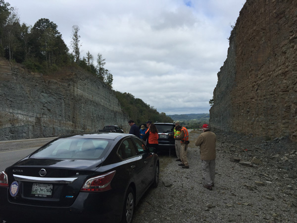
| 3. Photo Locations/Stops |
| 4. Stop 1a |
| 5. Stop 1b |
| 6. Stop 2 |
| 7. Stop 3 |
Introduction from the Guide Book:
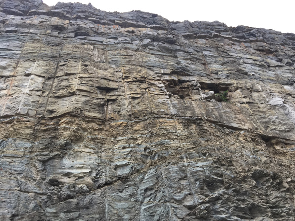
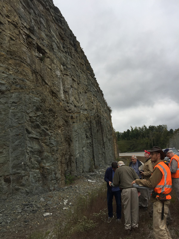
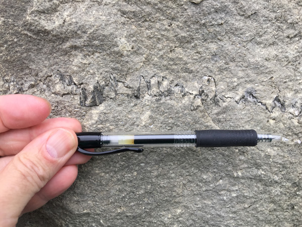
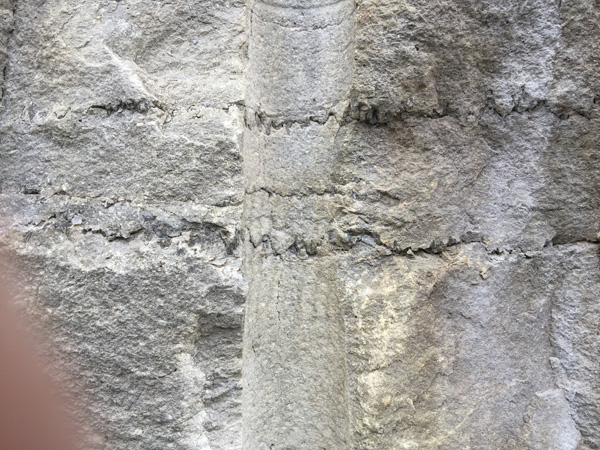
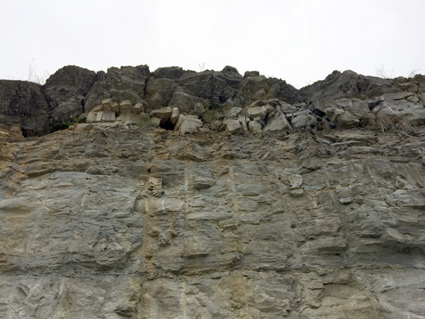
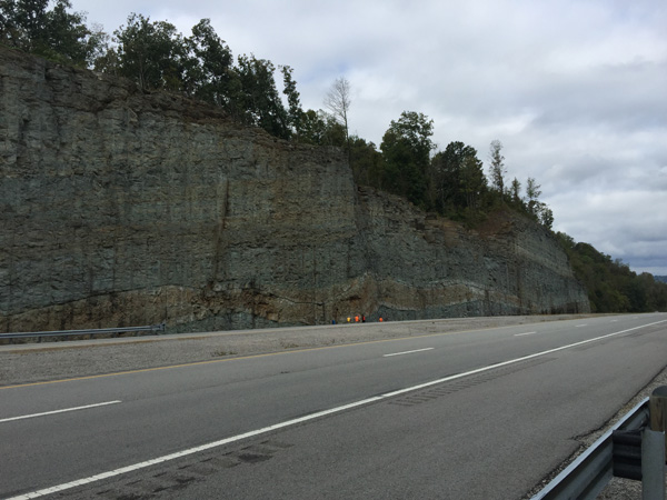
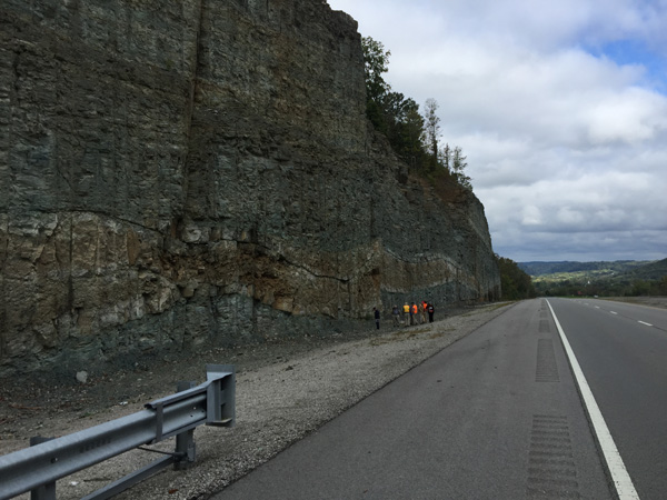
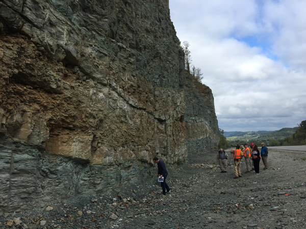
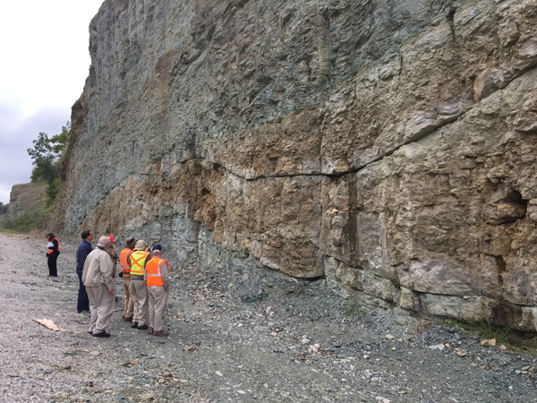
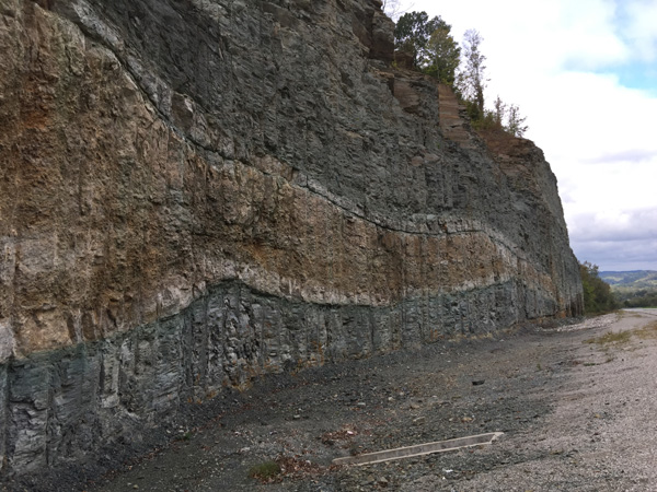
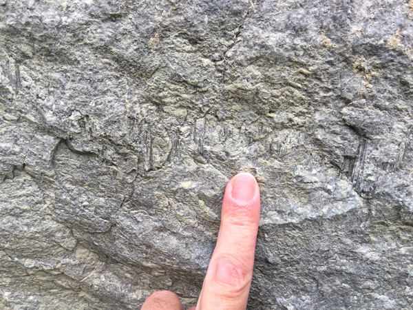
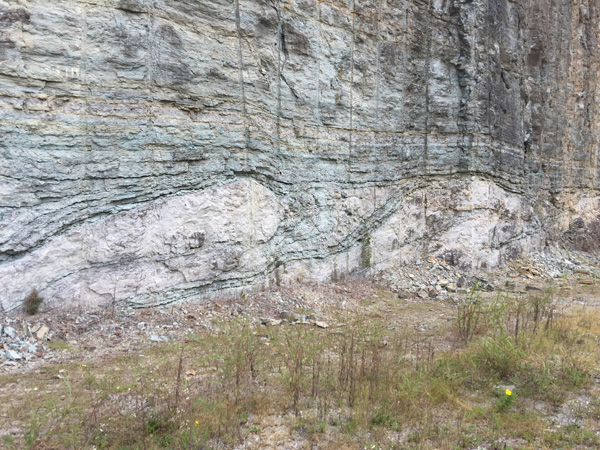
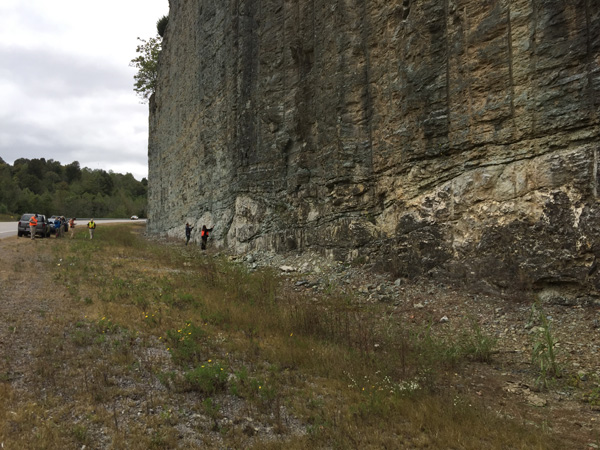
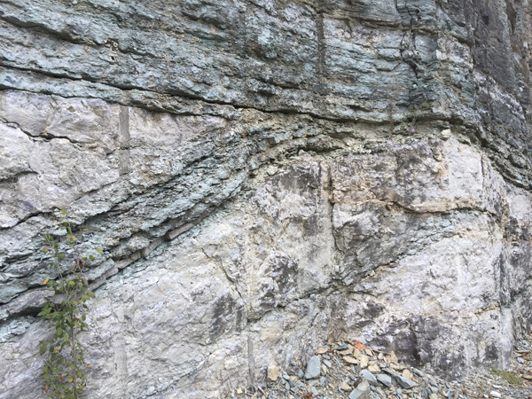
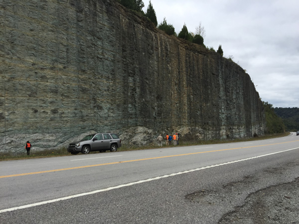
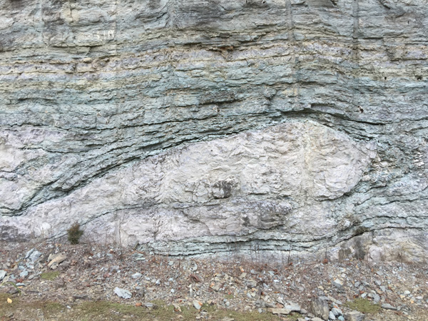
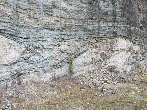
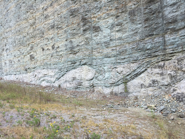
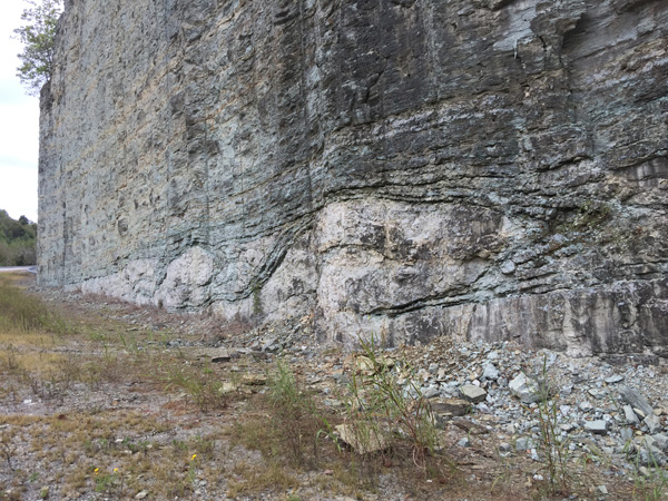
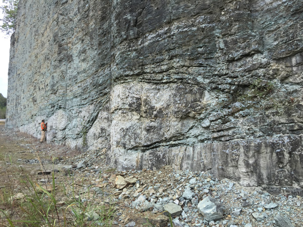
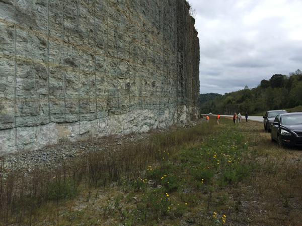
Folds are geologic features of great variety that are formed under a variety of temperatures and pressures, ranging from the near-surface- or even the Earth's surface- to the depths of the lower crust and mantle. They are commonly assumed to have a tectonic origin, but there are clear exceptions. The purpose of this East Tennessee Geological Society field trip is to examine several new exposures of fresh Ft. Payne Formation near Celina, Tennessee, which expose sections of the lower part of the unit at about the same stratigraphic level <10 m above the underlying Chattanooga Shale. These road cuts are interesting and yet contrasting, because of the nature of the rocks and their depositional environments, and how deposition managed to produce a suite of folds that initially suggest they had a tectonic origin. When we look at structure contours of the base of the Chattanooga Shale, we find that this surface is folded to an amplitude that it is difficult to explain the origin of these folds as a product of deposition on an irregular surface. Some of these folds have amplitudes of 25 m. The Ft. Payne, however, is said to be the most complex rock unit in Tennessee, with widely varying facies, and some facies, like the bryozoan-dominated reefs that have produced major amounts of oil, are not exposed at the surface (e .g., Scruggs, 2015).
We will depart Knoxville on Saturday morning (Oct 13th)
via 1-40 and drive to the area northwest of Livingston and southeast of
Celina, TN, to examine at the well-exposed section of lower Ft. Payne that
contains many interesting stratigraphic features, including many
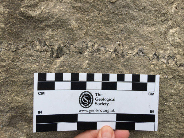
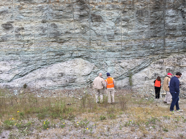
supratenuous folds. The way these structures first appeared at Stop 1 is as
dipping beds below horizontal beds- intraformational unconformities:
diastems - in the Ft. Payne exposed in the new roadcuts, and then we saw the
supratenuous folds developed above these dipping beds.
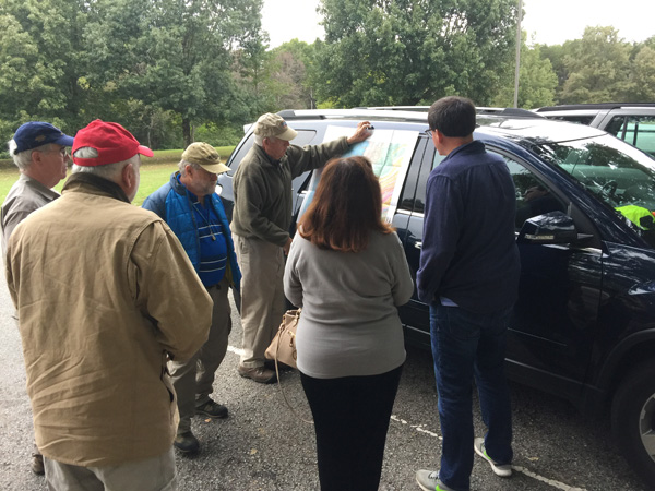
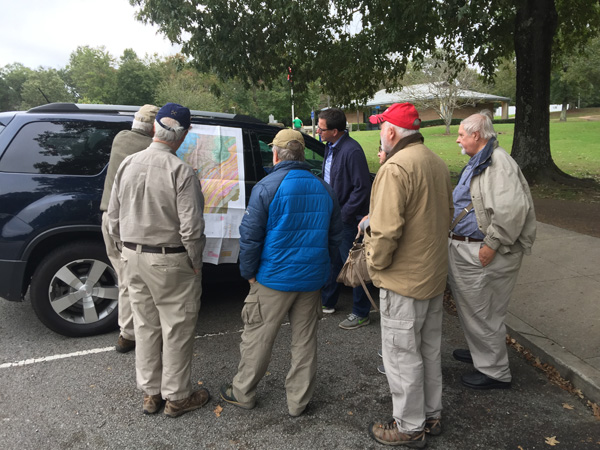
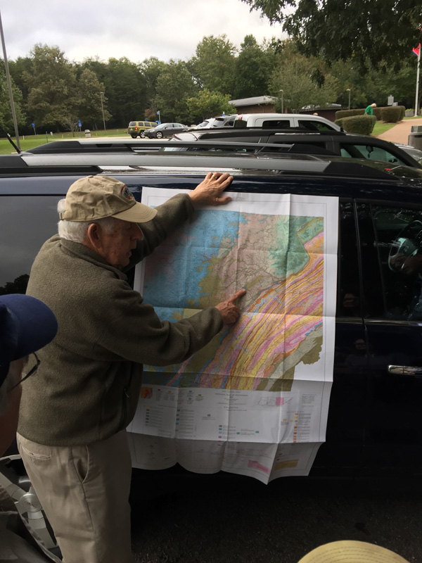
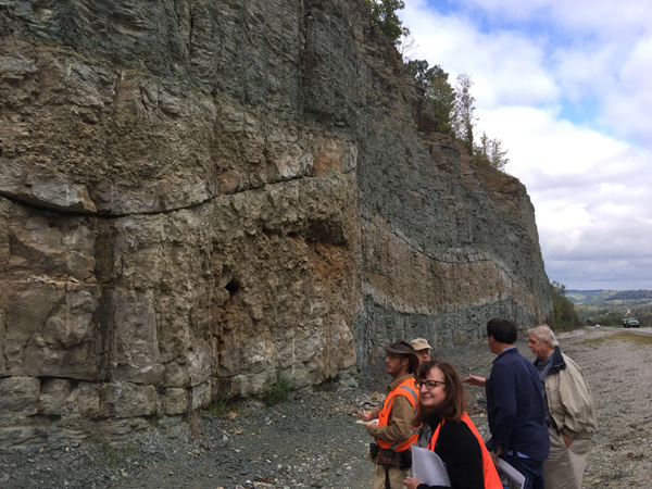
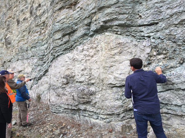
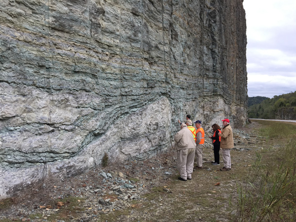
Dr. Hatcher Presents an Overview of Geology on the Drive to Celina
|
|
|
|
|
Regional and Local Geology from the Guide Book:
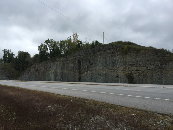
The Celina, Tennessee, area is located on the eastern Highland Rim in primarily Mississippian rocks (Hardeman, 1966). The geology of this area has been mapped in detail and published in several 7.5-minute quadrangles by the Tennessee Geological Survey. The Burristown (Wilson, 1989), Celina (Wilson, 1987), Dale Hollow Dam (Wilson et aI., 1981), and Hilham (Wilson and Colvin, 1968) quadrangles depict the distribution of rock units in this area. Rocks in this area range from the Upper Ordovician Leipers and Catheys Formations (undivided) through the Upper Ordovician Sequatchie Formation overlain unconformably by the Chattanooga Shale (Uppermost Devonian-Lower Mississippian), the very thin Maury Shale (Lower Mississippian), Ft. Payne Formation (Middle Mississippian), Warsaw Limestone (Middle Mississippian), St Louis Limestone (Middle Mississippian), Monteagle Limestone (Middle Mississippian), and Hartselle Sandstone (Upper Mississippian) (Fig . 1). The Hartsell Sandstone occurs as outliers that occupy several hilltops in these map areas, but forms an extensive flat or "bench" topography farther east to the immediate west of the Cumberland Plateau (Hardeman, 1966).
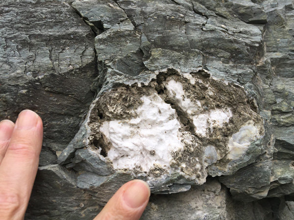
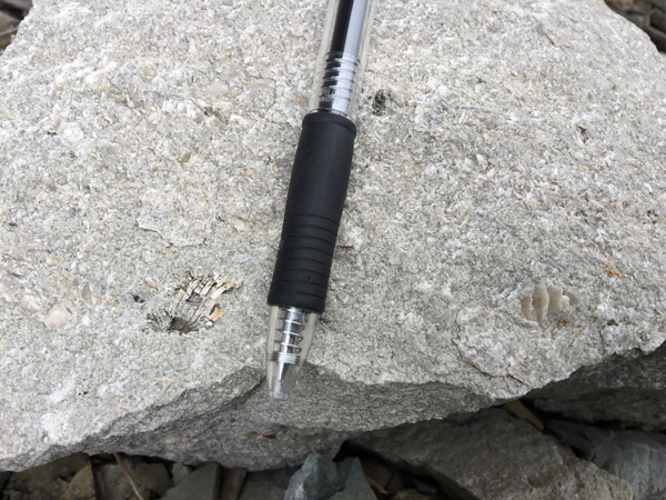
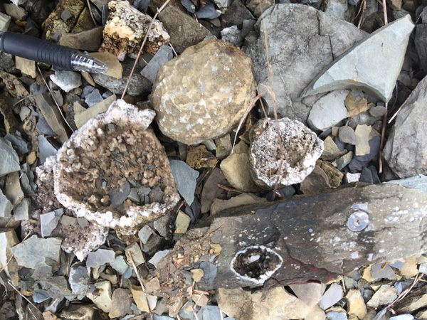
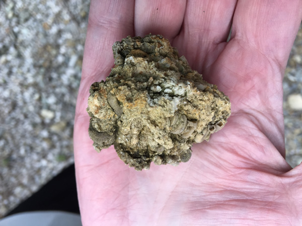
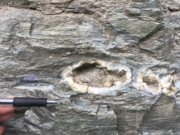
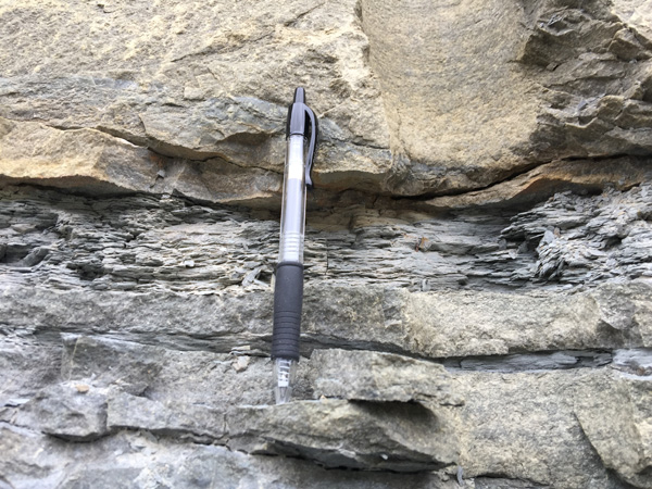
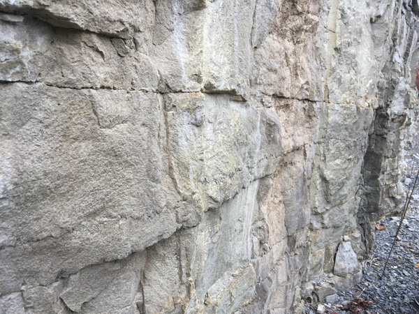
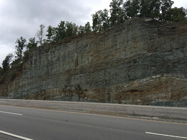
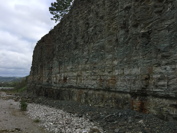
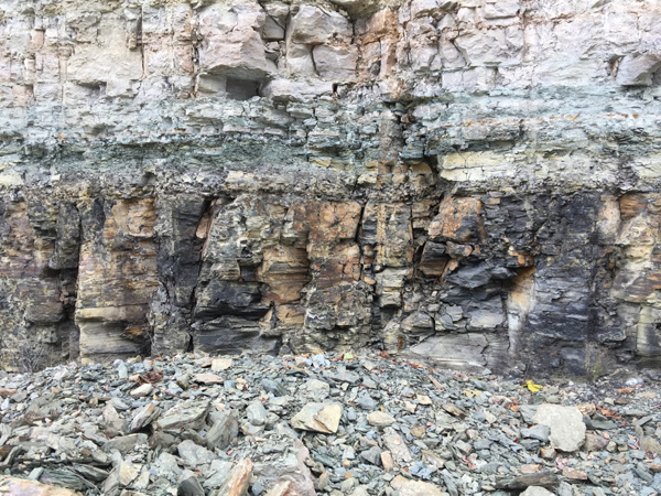
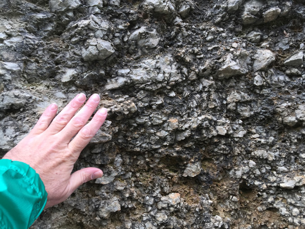
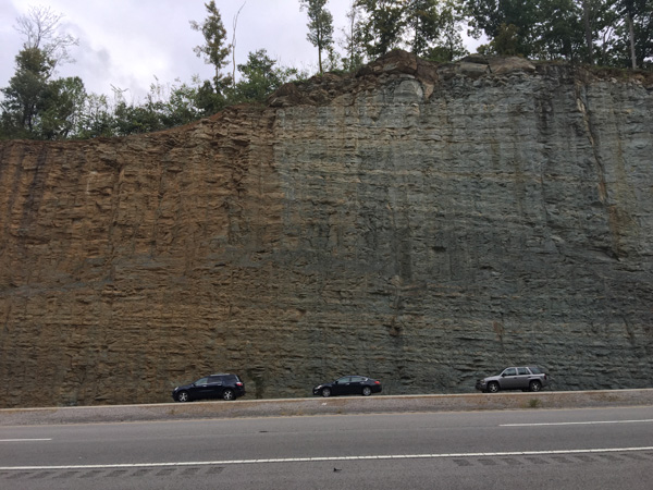
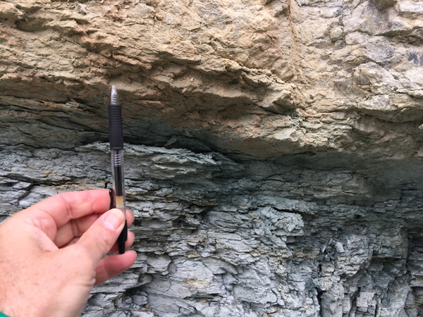
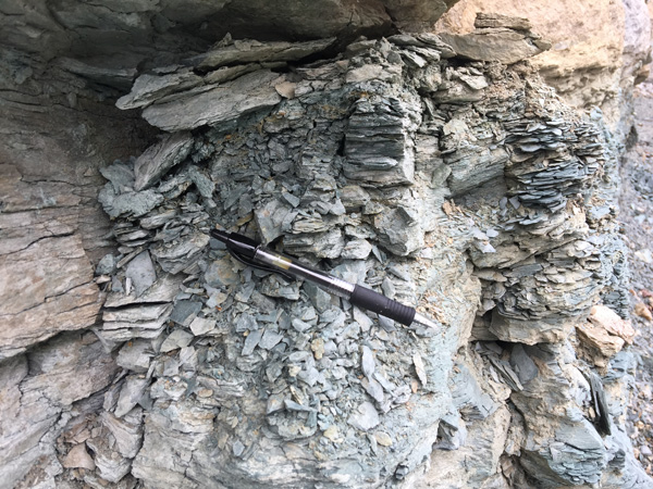
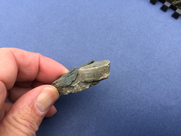
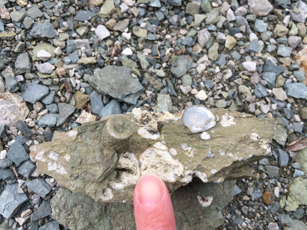
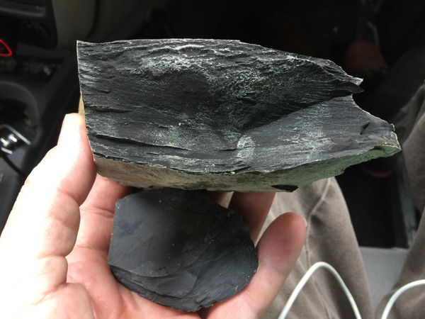
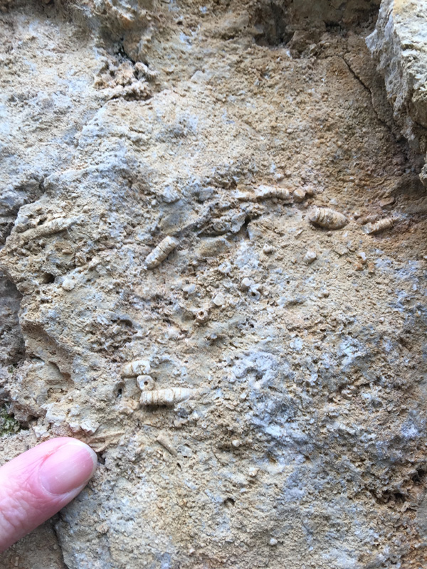
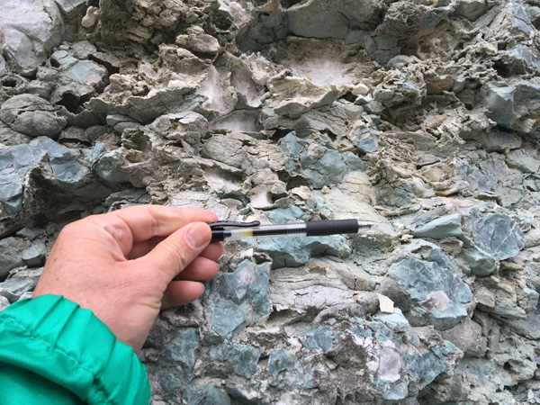
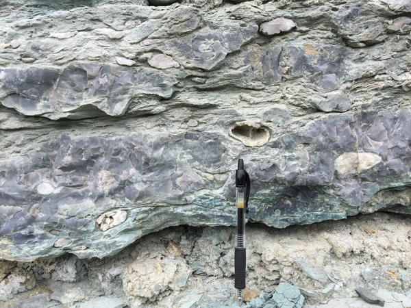
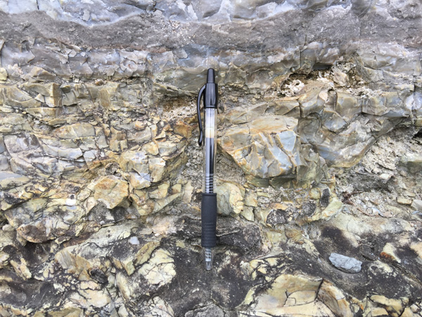
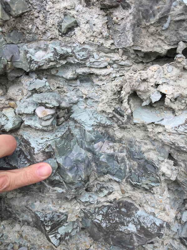
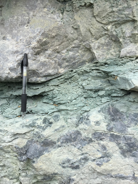
The Ft. Payne Formation in these exposures consists predominantly of a suite of
greenish-gray to variegated, fine-grained siltstone and beds of greenish-gray to
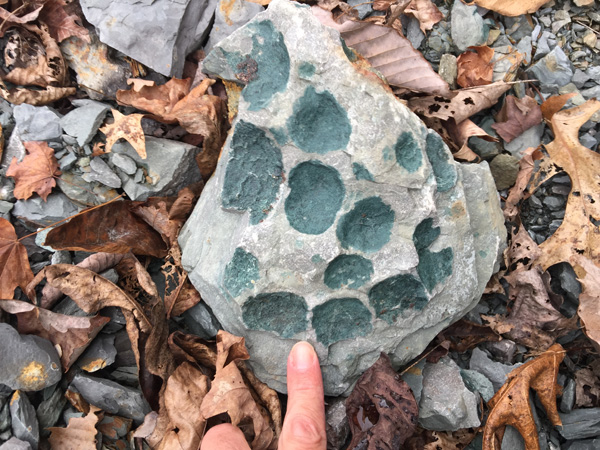
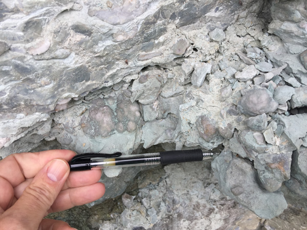
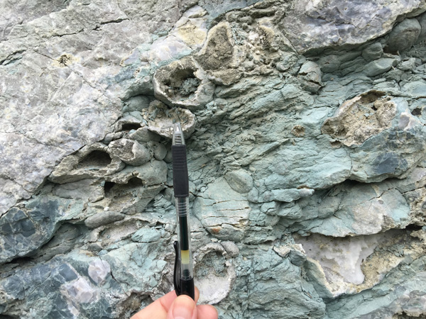
orange brown, mostly crinoid debris with a silty component. Channels (Wolak et
aI., 2015) or Walsortian reef-like mounds are present at Stops 2 and 3, but
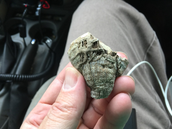
those at Stop 2 consist of lenticular beds of very porous, weathered, crinoid-dominated
limestone (Fig. 6). The geology at all of the stops in our trip has also been
described by Wolak et al. (2015) for a field trip related to the 2015 meeting of
the Southeastern Section of the Geological Society of America in Chattanooga,
Tennessee. Their guide emphasizes the fauna and depositional environments in the
Ft. Payne, whereas our trip emphasizes the geometries of the intraformational
deposition-related supratenuous folds, more regional lower Ft. Payne
stratigraphy, and kinematics of movement of some of the Walsortian-like mounds
that were deformed as they moved downslope under the influence of gravity.
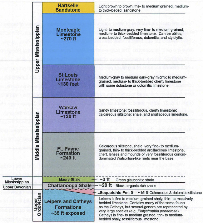
Stratigraphic column for the area around Celina, Tennessee. Thicknesses and rock
descriptions
modified from Wilson (1987) and Wilson et al. (1987).
Photo Locations/Stops
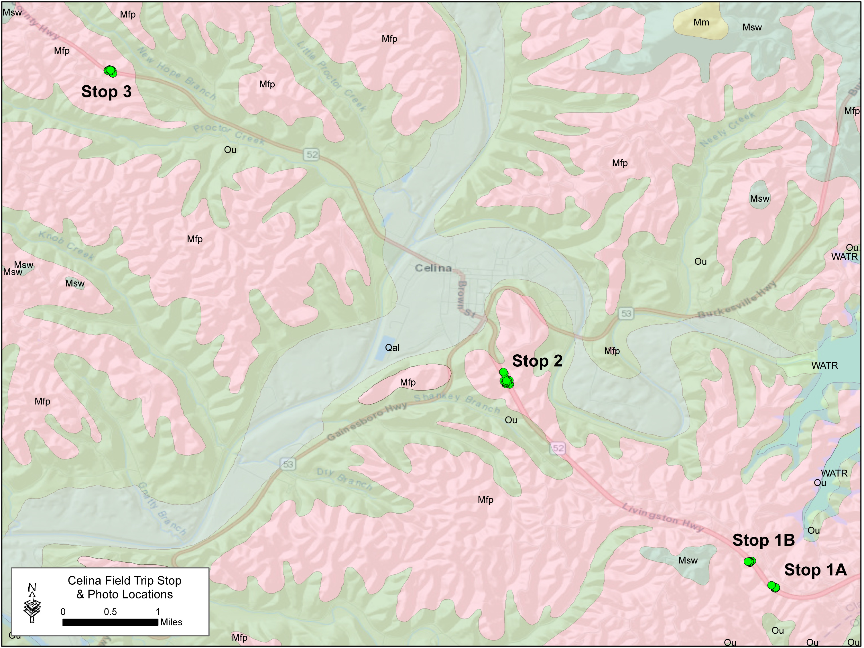
Stop 1a

Stop 1B
|
 |
|
|
 |
|
|
 |
|
Stop 2
|
|
 |
 |
 |
 |
 |
 |
 |
|
 |
 |
 |
 |
 |
 |
 |
 |
 |
|
 |
 |
 |
Stop 3
 |
 |
|
|
 |
 |
 |
 |
 |
 |
 |
 |
|
 |
 |
 |
 |
 |
 |
 |
 |
ETGS extends special thanks to Dr. Robert Hatcher who graciously contributed assembly and production of the detailed guide book as well as his time and knowledge of the Celina Area geology.
|
Page updated
October 14, 2018 |