EAST TENNESSEE GEOLOGICAL SOCIETY
| Geology of Middlesboro Meteorite Impact Structure - 2003 Autumn Field Trip |
| Middlesboro, Kentucky |
| Saturday, November 1, 2003 |
| Adapted from |
| Geologic Impacts on the History and Development of Middlesboro, Kentucky |
| Published by the Kentucky Society of Professional Geologists |
| Trip Leader: Keith A.
Milam Ph.D. Candidate, Planetary Geosciences Institute Department of Earth and Planetary Sciences, University of Tennessee |
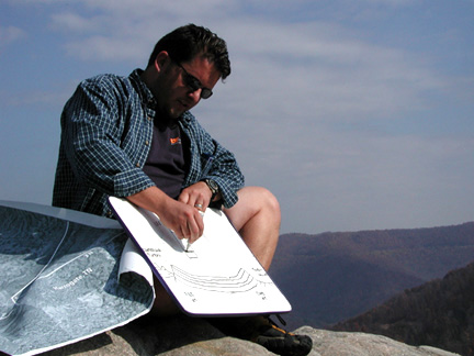
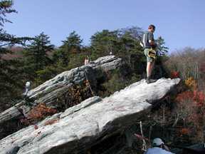
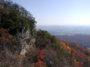
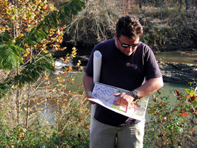
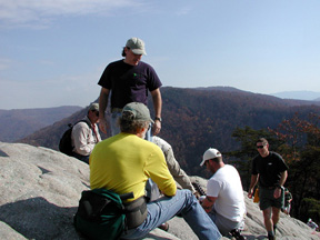
Beginning the day at Chained Rock in Pine
Mountain State Park,
Keith Milam orients ETGS members to the structural setting of the
field trip area.
Photos by Brad Stephenson, except where otherwise noted.
|
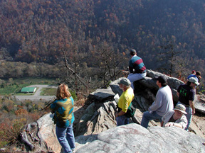 |
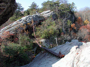
| High above the town of Pineville, Chained Rock in Pine Mountain State Park affords an excellent overview of the structural setting on which the Middlesboro impact structure is superimposed. | |
 |
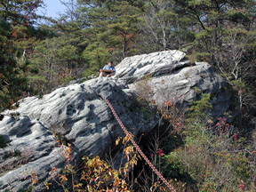 |
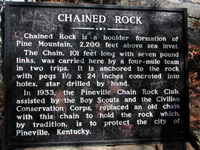
| According to local lore, residents of Pineville attached a chain to anchor this bedrock outcrop and protect the town, which is located more than 1,200 feet below this point. | |
 |
 |
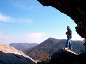
| At Chained Rock on the northwest limb of the Middlesboro Syncline, the sandstones and conglomerates of the Lee Formation are dipping to the southeast. | |
|
|
| The leading edge of the Pine Mountain Thrust Sheet is visible across Pineville Gap, with the relatively undeformed Cumberland Plateau in the background. | |
 |
 |
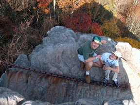
| ETGS members study the morphology of the sandstone outcrop during the overview at Chained Rock. Dr. G. Michael Clark (UT Department of Earth and Planetary Sciences) explains that these "solutional" features are called opferkesel (from the German opfer for above and kesel for kettle or offering plate). | |
 |
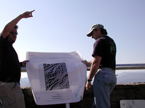 |
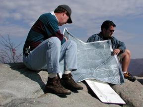
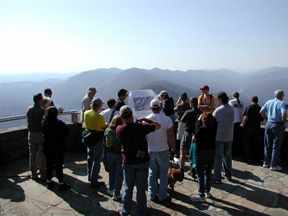
| Pinnacle Overlook on Cumberland Mountain provides a beautiful view of Powell Valley (an anticline) to the south and east (left photo) and the Middlesboro Basin to the northwest (circular structure near center of map in right photo). At this location on the southeast limb of the Middlesboro Syncline, the sandstones and conglomerates of the Lee Formation are dipping to the northwest. | |
 |
 |
| Left: Pinnacle
Overlook also provides an excellent view of Cumberland
Gap (foreground) and Cumberland Mountain (background).
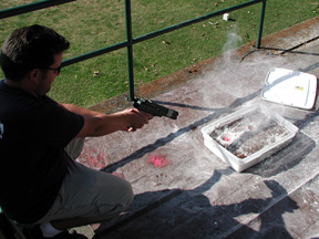
Right: The Middlesboro Country Club golf course is "ground zero" of the Middlesboro impact structure. Conglomeratic sandstones of the Lee Formation have been uplifted in the central core, exposing them at the land surface. Keith Milam uses a paintball gun and layers of coffee and flour to demonstrate the process of crater formation and the effects of projectile trajectory on crater morphology. |
|
 |
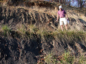 |
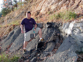
| Yellow Creek (left) exposes deformed strata of the Breathitt Formation. Nearly overturned layers of shale, coal, and underclay (right) form an "ejecta flap" along the transient crater rim. | |
 |
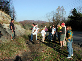 |
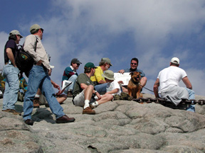
| Keith Milam and ETGS members explore an outcrop of the Breathitt Formation, where deformation varies substantially over a short distance across the transient crater rim. | |
ETGS thanks Shaw Environmental & Infrastructure, Inc. for sponsoring the reproduction of the guidebook for this field trip!
|
Page updated
May 19, 2018 |