EAST TENNESSEE GEOLOGICAL SOCIETY
| Stratigraphy along the Virginia Creeper Trail between Whitetop Station and Damascus |
| Mount Rogers National Recreation Area, Virginia |
| Saturday June 7, 2008 |
| Trip Leader: Tony Tingle |
|
|
Photographs by Mark Maki
Additional
photographs and information about the geology of the Virginia
Creeper Trail
may be found on the June 2000 ETGS field trip
page.
|
|
|
|
|
|
Photographs by Carla Sparks
Additional
photographs and information about the geology of the Virginia
Creeper Trail
may be found on the June 2000 ETGS field trip
page.
|
|
|
|
|
|
|
|
|
|
|
|
|
|


ADDITIONAL INFORMATION
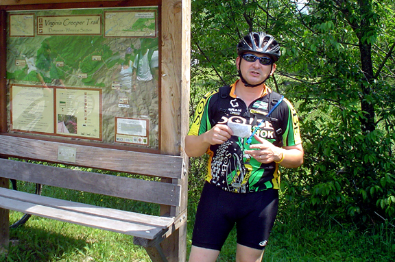
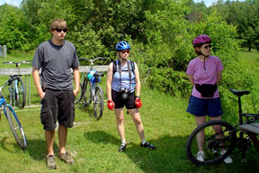
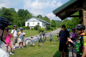
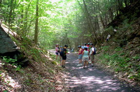
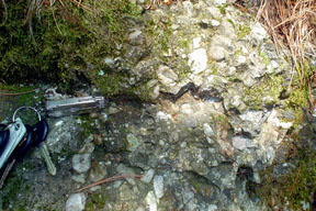
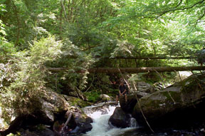
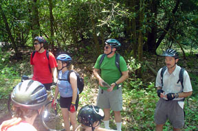
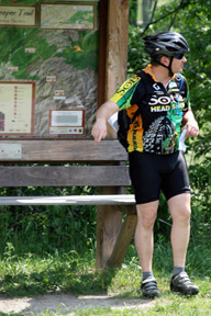
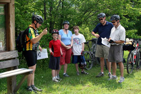
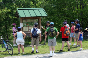
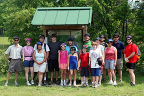
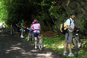
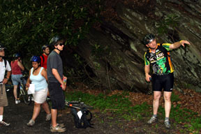
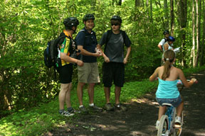
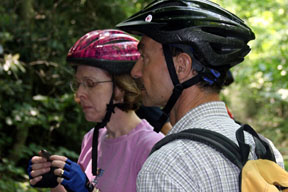
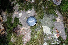
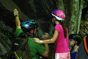
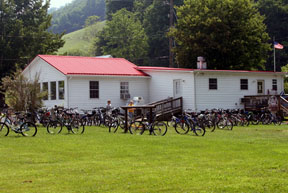
ETGS field trip participants cycled the 17-mile section down the mountain from Whitetop Station to Damascus, stopping at regular intervals to learn about the local geology. A shuttle service (Blue Blaze Bike and Shuttle Service) transported us to the top of the trail at Whitetop Station, and we rode back down to Damascus. Blue Blaze is located in Damascus, Virginia, about 3 hours from Knoxville, Tennessee.
The Virginia Creeper Trail starts in Abingdon and ends at Whitetop Station--a total length of 33.4 miles. It began as a Native American footpath and became part of the Virginia-Carolina Railroad system in 1907. It now serves as a multi-use recreation trail.
ACKNOWLEDGEMENTS
Tony Tingle was the trip leader for this outing. He developed the geology trail log and scouted the trail and outcrops in advance. ETGS thanks Tony for a job well done! Please contact Tony if you have any questions regarding the geology of the trip area.
Carla Sparks assisted Tony with scouting the trip route and preparing the trail log. ETGS thanks Carla, as well!
|
Page updated
May 19, 2018 |