EAST TENNESSEE GEOLOGICAL SOCIETY
| Traverse from the Upper Crust to the Lower Middle Crust of the Taconian Orogen (470-440Ma) |
| Southern Appalachians |
| Saturday, December 7, 2024 |
| Trip Leader: Dr. Robert D. Hatcher Jr. |
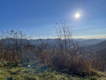
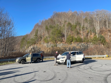
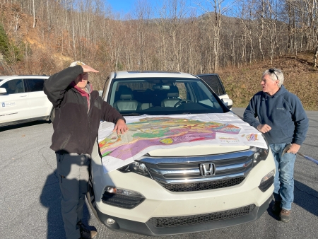
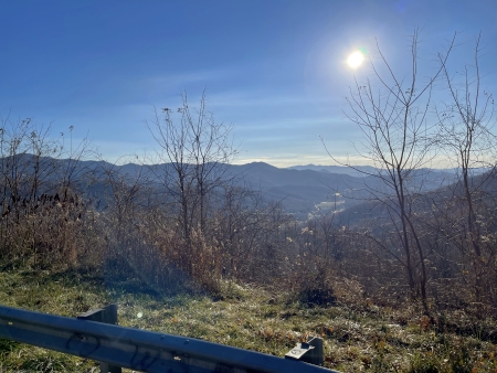
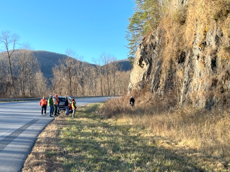
Chunky Gal Mountain
(35.0588 N, -83.6203 W)
|
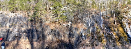
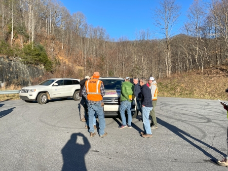
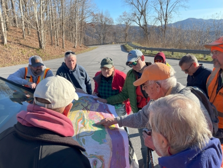
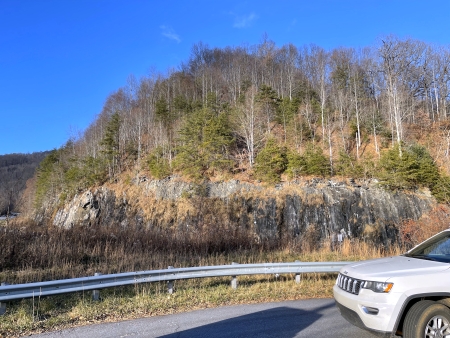
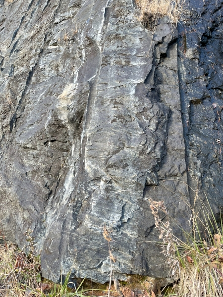
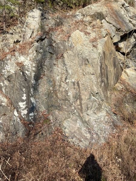
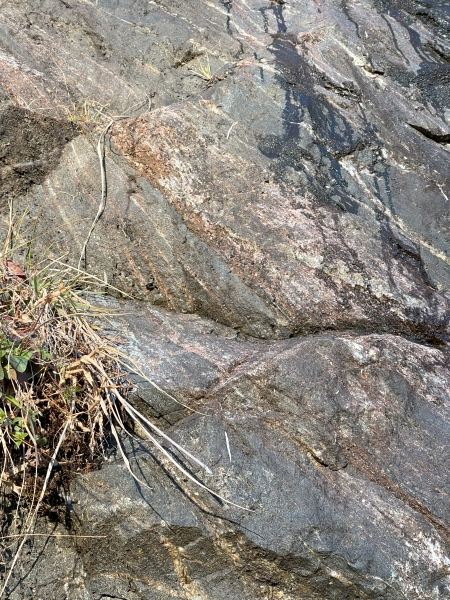
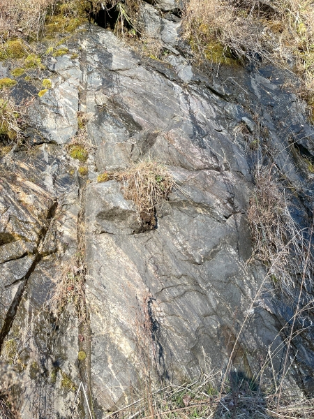
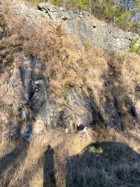
Purpose: To examine rock assemblages and structures, including the Chunky Gal Mountain fault, at two large exposures of central Blue Ridge rocks. |
Click the links below to see photographs at each of the field trip stops.
| Home | |
| Stop 1-1 | Ocoee Dam No.1 (Parksville Reservoir) (35.0964 N, -84.6478 W) |
| Stop 1-2 | Cleavage and Primary Sedimentary Structures
in Wilhite Formation (Walden Creek Group) at Madden Branch (35.1096 N, -84.5590 W) |
| Stop 1-3 | Wehutty Formation at Boyd Gap (35.0432 N, -84.4502 W) |
| Stop 1-4 | Copperhill Formation in historic Ducktown,
Tennessee (35.0333 N, -84.3810 W) |
| Stop 1-5 | Mineral Bluff Formation along U.S. 64 in
Murphy, North Carolina (35.078503 N, -84.040160 W) |
| Stop 1-6 | Staurolite-Bearing Mineral Bluff Formation
South of Marble, North Carolina (35.1683 N, -83.9213 W) |
| Stop 1-7 | Migmatitic Metagraywacke (Great Smoky
Group) East of Hayesville, North Carolina (35.0406 N, -83.7947 W) |
| Stop 1-9A | Chunky Gal Mountain (35.0588 N, -83.6203 W) |
| Stop 1-10 | Metadunite of the Buck Creek Complex along
Buck Creek (35.07850 N, -84.62805 W) |
| Stop 1-11 | Winding Stair Gap (35.1224 N, -83.5435 W) |
All photos by Bob
Gelinas unless otherwise specified.
|
|
|
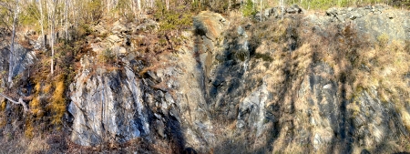 Panoramic Image "C" |
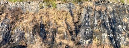 Panoramic Image "D" |
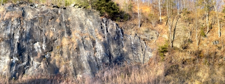 Panoramic Image "E" |
 Panoramic "F" Image of Southeast End of Exposure |
 |
 |
 |
 |
 |
 |
 |
 |
 |
 |
 |
 |
 |
|
| Back to top of page | |
|
Page updated
December 10, 2024 |

